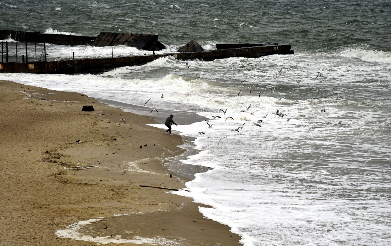
Current State of Global Sea Levels
The expert noted that global sea levels remained nearly unchanged over a long period. “Over the past 3,000 years, minor fluctuations have not exceeded 0.2 mm per year,” Sadogurska clarified. However, from 1901 to 2010, the average global sea level has already risen by nearly 20 cm. This is confirmed by data from the Intergovernmental Panel on Climate Change. "And the rate is accelerating," noted the expert from the NGO "Ekodia."
How rising sea levels will change the map of Ukraine
Sadogurska explained that the study of the potential consequences for Ukraine of rising global sea levels—which scientists are already observing as a result of climate change—is titled “Water Is Near.” "In this study, we sought to assess how global processes could affect the coastal areas of Ukraine’s southern regions," explained the expert from the NGO.
According to experts, if greenhouse gas emissions are not reduced, nearly 650,000 hectares of land in Ukraine could be flooded by 2100. "And if we factor in rising water levels due to natural factors, such as storms, that figure could reach 1 million hectares," Sadogurska added. She noted that this area is nearly equal to the size of the Ternopil region.
The regions most likely to be affected are:
- Kherson region